

Academic Classes / Class 10 Tuition / ICSE / GEOGRAPHY-10 / Grade10 geography
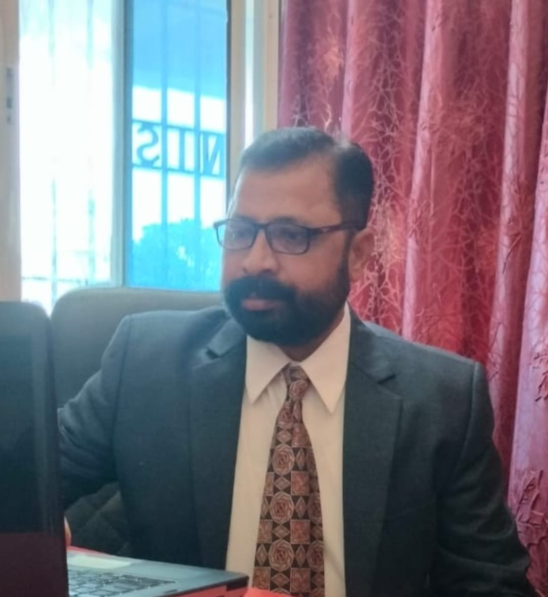
Shravan Saroj
Masters of Arts from IGNOU
Student's Reviews
By Several Parameters
Geography is a subject where we study Physical features of earth and its atmosphere as well as human activity . Where we study the Physical and political divisions . By covering this Class 10 Geography we will also get to know about our India .
For attending this course, prior knowledge of Grade-9 Geography is required, this course assumes that students have prior experience with all the topics of Geography of Grade-9. This is not an introductory class for absolute beginners on Geography of Grade-9! Participants should already be familiar with some chapters.
| Course | Fee per Class (In KlassCoins) | Duration | Type |
|---|
Hi myself Shravan Kumar Saroj from Samastipur,Bihar. I have been a TGT teacher and has 12+ years teaching experience . I have done my bachelors degree in the subject Geography .
I teach subjects -social studies / Geography. I also teach English as a subject to interested students.
I have 12+ years in this teaching field. I have also worked as a Principal of school for 2 years . And currently I am working as. Vice Principal in Narayan International school, Dharbhanga .
-
Subject Details:
I teaches social studies /( Geography), English of both ICSE, CBSE. I can take individual as well as group class
My main aim in teaching is to motivate and prepare children for various challenges and programme and to build leadership quality.I have worked in various reputed schools in different states . So I have a good experience with the students . I also have an addditional qualification MA. ( ENGLISH). I also encourage students in sports and games with them in leisure time. I have helped various school management in participation of different activities.
-
Book Published Details:No data found.
-
Language Known:English, Hindi
-
Total Experiance:15 Years
-
Listening & Questioning Skill:Good
-
Reading Skill:Good
-
Writing Skill:Good
-
Presentation Skill:Good
-
Online classes Experiance:No data found.
-
Award Recg:No data found.
-
Research Work:No data found.
Degree: Bachelors of Arts - University: LNMU
Degree: Masters of Arts - University: IGNOU
Degree: B.ed. - University: IGNOU
Geography is a subject where we study Physical features of earth and its atmosphere as well as human activity . Where we study the Physical and political divisions . By covering this Class 10 Geography we will also get to know about our India .
-
Learning Objectives:
Part I (Map Work)
1. Interpretation of Topographical Maps
2. Map of India
Part II (Geography of India)
3. Location, Extent and Physical features
4 . Climate
5. Soil Resources
6. Natural Vegetation
7. Water Resources
8. Mineral and Energy Resources
9. Agriculture
10. Manufacturing Industries
11. Transport
12. Waste Management
-
Course Outline:
Part I: Map Work
1. Interpretation of Topographical Maps
(a) Locating features with the help of a four figure or a six-figure grid reference.
(b) Definition of contour and contour interval. Identification of landforms marked by contours (steep slope, gentle slope, hill, valley, ridge / water divide, escarpment), triangulated height, spot height, bench mark, relative height/ depth.
(c) Identification and definition of types of scale given on the map. Measuring distances and calculating area using the scale given there in. (Marking directions between different locations, using eight cardinal points. )
(d) Identify: Site of prominent villages and/or towns, types of land use / land cover and means of communication with the help of the index given at the bottom of the sheet.
(e) Identification of drainage (direction of flow and pattern) and settlement patterns.
(f) Identification of natural and man-made features.
2. Map of India
On an outline map of India, you are required to locate, mark and name the following:
Mountains, Peaks and Plateaus: Himalayas, Karakoram, Aravali, Vindhyas, Satpura, Western and Eastern Ghats, Nilgiris, Garo, Khasi, Jaintia, Mount Godwin Austin (K2), Mount Kanchenjunga. Deccan Plateau, Chota Nagpur Plateau.
Plains: Indo-Gangetic Plains, Coastal plains – Konkan, Kanara, Malabar, Coromandal, Northern Circars.
Desert: Thar (The Great Indian Desert)
Rivers: Indus, Ravi, Beas, Chenab, Jhelum, Satluj, Ganga, Yamuna, Ghaghra, Gomti, Gandak, Kosi, Chambal, Betwa, Son, Damodar, Bhrahmaputra, Narmada, Tapti, Mahanadi, Godavari, Krishna and Cauveri, Tungabhadra.
Water Bodies: Gulf of Kutch, Gulf of Khambhat, Gulf of Mannar, Palk Strait, Andaman Sea, Chilka Lake, Wular Lake.
Passes: Karakoram, Nathu-La Passes.
Latitude and Longitudes: Tropic of Cancer, Standard Meridian (82° 30’E).
Direction of Winds: South West Monsoons (Arabian Sea and Bay of Bengal Branches), North East Monsoons and Western Disturbances.
Distribution of Minerals: Oil – Mumbai High (Offshore Oil Field) and Digboi. Iron – Singhbhum, Coal – Jharia.
Soil Distribution: Alluvial, Laterite, Black and Red Soil.
Cities: Delhi, Mumbai, Kolkata, Chennai, Hyderabad, Bengaluru, Kochi, Chandigarh, Srinangar, Vishakhapatnam, Allahabad.
Population: Distribution of Population (Dense and sparse)
Part II: Geography of India
3. Location, Extent and Physical Features
Position and Extent of India. (through Map only)
The physical features of India – mountains, plateaus, plains and rivers (through Map only)
4. Climate
Distribution of Temperature, Rainfall, winds in Summer and Winter and the factors affecting the climate of the area. Monsoon and its mechanism.
Seasons: March to May – Summer; June to September – Monsoon; October to November – Retreating Monsoon; December to February – Winter.
5. Soil Resources
Types of soils (alluvial, black, red and laterite), composition and characteristics such as colour, texture, minerals and crops associated. Soil erosion – causes, prevention and conservation.
6. Natural Vegetation
Importance of forests. Types of vegetation (tropical evergreen, tropical deciduous, tropical desert, littoral and mountain), distribution and correlation with their environment. Forest conservation.
7. Water Resources
Sources (Surface water and ground water).
Need for conservation and conservation practices (Rain water harvesting and its importance). Irrigation: Importance and methods.
8. Mineral and Energy Resources
Iron ore, Manganese, Copper, Bauxite – uses and their distribution.
Conventional Sources: Coal, Petroleum, Natural gas (distribution, advantages and disadvantages). Hydel power (Bhakra Nangal Dam and Hirakud). Non-conventional Sources: Solar, wind, tidal, geo-thermal, nuclear and bio-gas (generation and advantages).
9. Agriculture in India
Indian Agriculture – importance, problems and reforms.
Types of farming in India: subsistence and commercial: shifting, intensive, extensive, plantation and mixed.
Agricultural seasons (rabi, kharif, zayad).
Climatic conditions, soil requirements, methods of cultivation, processing and distribution of the following crops:
Rice, wheat, millets and pulses.
Sugarcane, oilseeds (groundnut, mustard and soya bean).
Cotton, jute, tea and coffee
10. Manufacturing Industries
Importance and classification
Agro based Industry – Sugar, Textile (Cotton and Silk).
Mineral based Industry – Iron & Steel (TISCO, Bhilai, Rourkela, Vishakhapatnam) Petro Chemical and Electronics.
11. Transport
Importance and Modes – Roadways, Railways, Airways and Waterways – Advantages and disadvantages.
12. Waste Management
Impact of waste accumulation – spoilage of landscape, pollution, health hazards, effect on terrestrial, aquatic (fresh water and marine) life.
Need for waste management. Methods of safe disposal -segregation, dumping and composting. Need and methods for reducing, reusing and recycling waste.
-
Recomended Audience:
The audience of this course is students of Grade-10 from ICSE Board. All the Chapters are well designed and its coverage as per latest curriculum released by the board. Still Student have complete flexibility to enhance or modify the course coverage during the course of learning process with Teacher. We are expecting that students of Grade-10 should drive their classes with Teacher as per chapters mentioned and also as per syllabus of their school and applicable School district or Board.
-
Pre-Requisite Requirement:
For attending this course, prior knowledge of Grade-9 Geography is required, this course assumes that students have prior experience with all the topics of Geography of Grade-9. This is not an introductory class for absolute beginners on Geography of Grade-9! Participants should already be familiar with some chapters.
-
Course Level:Intermediate
-
Language of Teaching:English, Hindi
-
Class Schedule Availiability:Afternoon, Evening